
 The Sumitro Chair for Southeast Asia Studies at CSIS is pleased to announce the release of our latest report, The South China Sea in Focus: Clarifying the Limits of Maritime Dispute, by Research Associate Gregory Poling.
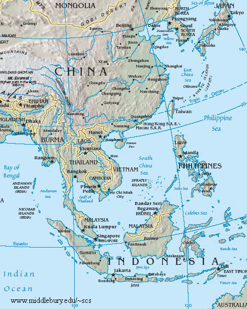
Satellite imagery and geospatial analysis tools offer an unprecedented opportunity to harness new technologies in order to help resolve boundary disputes. The South China Sea in Focus uses these tools to provide a first and necessary step toward tackling the overlapping maritime disputes in the South China Sea: determining which waters are and are not in dispute under international law.
The report opens with a set of geographic information system (GIS)–based maps that provide an easily understandable benchmark against which policymakers and academics can judge the claims and actions of the South China Sea claimants. More detailed color maps and methodological information follow for those who want to dig deeper into the claims and the report’s conclusions.
To download the full report [from CSIS site] or order a hard copy, please click here.

Dear Anh Hai
I thank you for the information, but I hope to Satellite imagery and geospatial analysis tools offer an unprecedented opportunity to harness new technologies in order to help resolve boundary disputes.
Will help Vietnam and China soon settled the disputed waters in the true spirit of respect and peace that he has voiced suggestions in previous interviews.
Em M Lành
LikeLike